
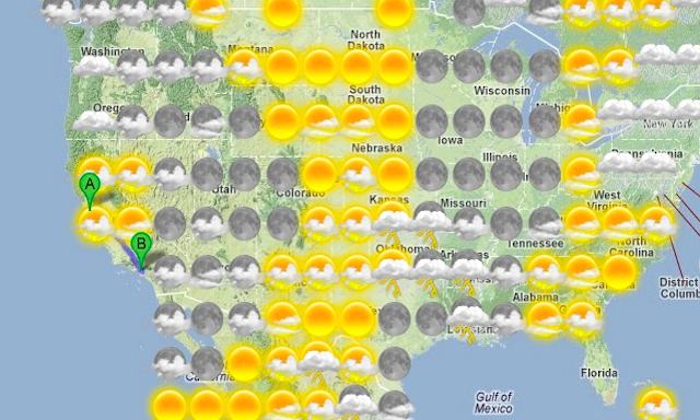
The smart folks over at Stamen Design have come up with some more of their mapping goodness with a great tool that I’m pretty sure everybody will appreciate: a travel planner that includes a layer of weather forecast data for your journey letting you know what it will be like along the route based on when you’re likely to get there.

This new project, created for the Weather Channel, not only forecasts the weather along the route of your planned journey but also allows you to drag your route around to avoid certain weather systems. In an extra layer of data, they also include a feed from the Yelp API to give you extra information about what to see along your way.

You can read more about the project in their launch post. Intriguingly, perhaps, the last part refers back to some work they did on a visualisation of how long it takes to get anywhere in London. Here they discuss some interesting potential future ideas…
I start thinking of weather maps that flow and ebb across the country, where different sliders open and ebb various kinds of other axes: time for sure, but maybe population density, maybe altitude, maybe temperature, maybe how many farms there are, maybe distance from a weather station or a McDonald’s—all the different kinds of things that affect people’s sense of place and space and time, organized by what’s above our heads.