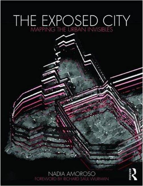
I know there are many readers out there who love map design and the challenges of representing data against a geographical context, so I strongly recommend you take a look at a fascinating book titled The Exposed City: Mapping the Urban Invisibles (Routledge, 2010) and authored by Nadia Amoroso.

The book offers a theoretical study of mapping as it relates to visual representation of the city from the early 20th century to today through map-landscapes:
There is a vast amount of information about a city which is invisible to the human eye – crime levels, transportation patterns, cell phone use and air quality to name just a few. If a city was able to be defined by these characteristics, what form would it take? How could it be mapped? Nadia Amoroso tackles these questions by taking statistical urban data and exploring how they could be transformed into innovative new maps…
Nadia teaches at the University of Toronto, John H.Daniels Faculty of Architecture, Landscape, and Design and her research on mapping urban phenomena and design work are published in a number of journals. You can read more about her bio here.
Rather than try (and fail) to offer a worthy outline or review of the book I would instead urge you to read the wonderfully detailed and comprehensive review of the book by Jason King on the Landscape and Urbanism Blog:
If you love maps, not as just as visual artifacts but as part of design and planning methodology, [this book] will validate, comfort, and quite possibly amaze you. That’s the effect it had on me – after quickly devouring this visually rich resource – I was full of ideas on representation and new uses for maps as valuable tools for urban studies, planning, and design.
